Koh Tan Eco Trail
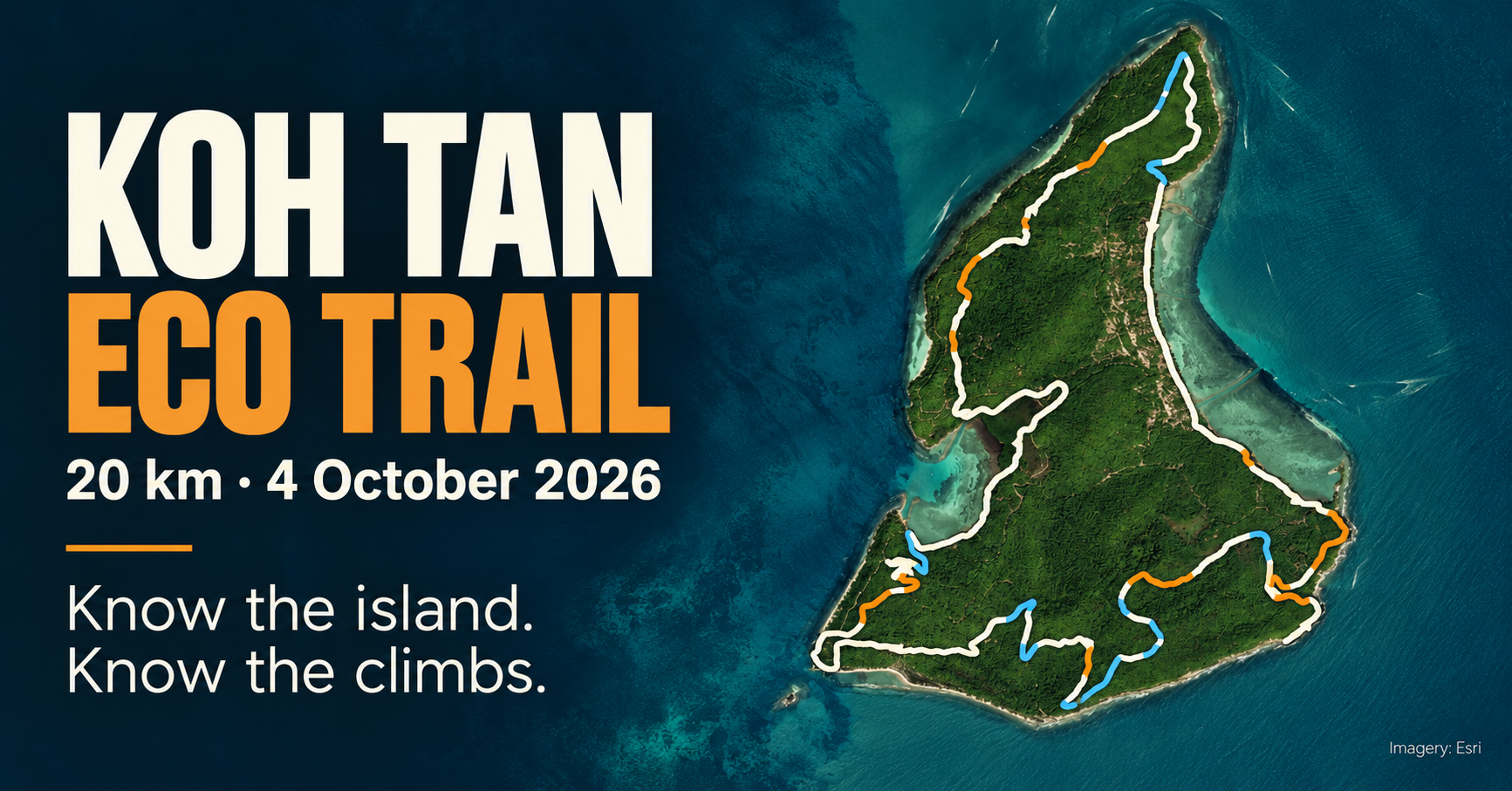
A course guide for the 20 km Koh Tan Eco Trail on 4 October 2026. The interactive model combines satellite imagery, terrain data, and the organizer’s GPX to show the island and the course’s main climbs and descents.
Open the course explorer or open it in Thai.
The guide works on desktop and mobile. It includes an elevation profile, three highlighted sections, the GPX download, and course infographics in English and Thai. Source links and calculation notes are included in the explorer.